
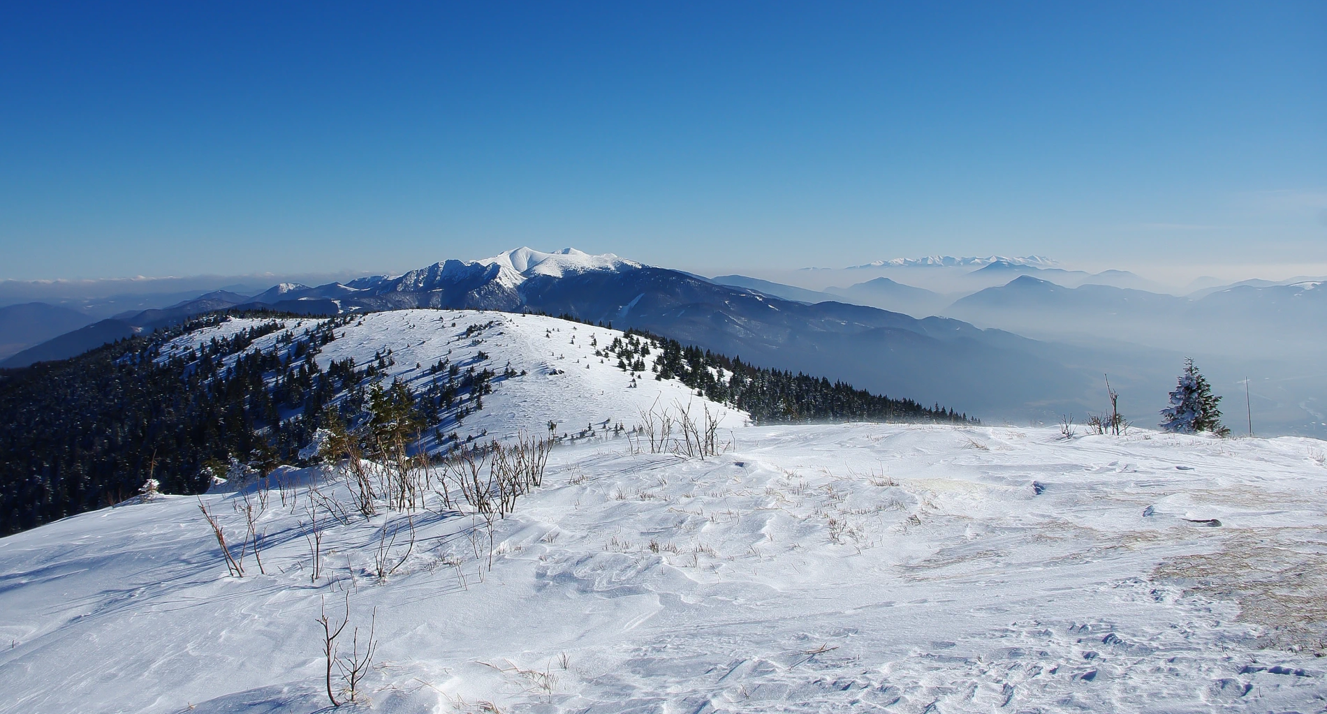
Are you looking for a hike that, besides a good elevation gain and fresh mountain air, also offers an unconventional historical experience? Head to Minčol (1,364 m above sea level), one of the most prominent and popular peaks of the Lúčanská part of Malá Fatra!
This vast grassy giant, proudly towering on the border of the Žilina and Martin districts, is not just an ordinary hill. Thanks to its strategic location, it played a key role during the Second World War, and to this day, silent witnesses of those difficult times rest on its slopes.
The views in all directions are simply breathtaking and instantly recharge you with energy. Thanks to its location at the crossroads of ridges, Minčol offers one of the best panoramic views in Slovakia. From here you can see the Žilina Basin, the Turiec Garden, Kysuce, and with good visibility even the High Tatras or the Moravian Beskids.
Natural wealth
Flora: Kingdom of bilberries and lingonberries
The vegetation of Minčol is strongly influenced by the acidic granite bedrock:
- Hole: The summit areas are not forested, but covered with vast alpine meadows. In autumn, they turn red thanks to dense growths of common bilberry and common cowberry.
- Dwarf pine: Unlike the northern part of Malá Fatra (Krivánska), where dwarf pine is natural, here it was partially burned in the past due to grazing, but today it is gradually returning.
- Flora below the ridge: In lower elevations, commercial spruce forests and better-preserved beech forests dominate, which in spring are adorned with carpets of wood anemone.
Fauna and rare inhabitants
The surroundings of Minčol are quieter and less visited than the area around Snilovské sedlo, which suits the wild game:
- Capercaillie: In the more remote forest parts below Minčol (e.g., towards Višňové), this critically endangered bird still finds refuge, needing old, sparser forests with plenty of blueberries.
- Šelmy: Bears and wolves regularly migrate through here, using the ridge of the Lúčanská Fatra as a natural biocorridor between Turiec and Považie.
Access and transport
1. From Višňové (Most popular route from Žilina)
- Route: Višňové (terminus) – Pod Hoblíkom – Chaty pod Holým dielom – Minčol.
- Marking: Blue marking 🔵 (time 2:45 – 3:15 h).
- Transport: Parking at the end of the village Višňové (at the barrier to the valley) or SAD Žilina line – stop Višňové, terminus.
2. From Turie (Via Turská dolina)
- Route: Turie (Municipal Office) – Turská dolina – Spoj troch dolín – Minčol.
- Marking: Yellow marking 🟡 (time 3:00 – 3:30 h).
- Transport: Parking in the village of Turie or SAD Žilina bus (stop Turie, Municipal Office).
3. From Stráňavy (Via Polom)
- Route: Stráňavy – horáreň – Javorina – Úplaz – Minčol.
- Marking: Green 🟢, later red marking 🔴 .
- Transport: Parking or SAD Žilina bus (stop Stráňavy, konečná).
4. From Vrútky / Martin
- Route: Vrútky (Piatrová) – Diaľna – Sedlo Okopy – Minčol (blue marking🔵, time 2:45 – 3:00 h).
- Transport: Parking at ATC Turiec or at the monument to Karvaš and Bláhovec. By train to Vrútky, then by public transport (towards Piatrová) or on foot.
What not to miss:
- Military cannons: In Sedlo Okopy (just below the summit) there are memorials from World War II – real artillery pieces.
- Shelter under Minčol: On the yellow trail from Turie (locality Čistý Grúň) a new shelter has been added, where you can sleep or hide from rain if needed.
- Views: From the summit you will see Žilina, Martin, Malá Fatra, Veľká Fatra as if on the palm of your hand, and with good visibility also the Tatras.
Hiking tip: The New Year's Eve ascent to Minčol is very popular.



There are no comments yet. Be the first!