
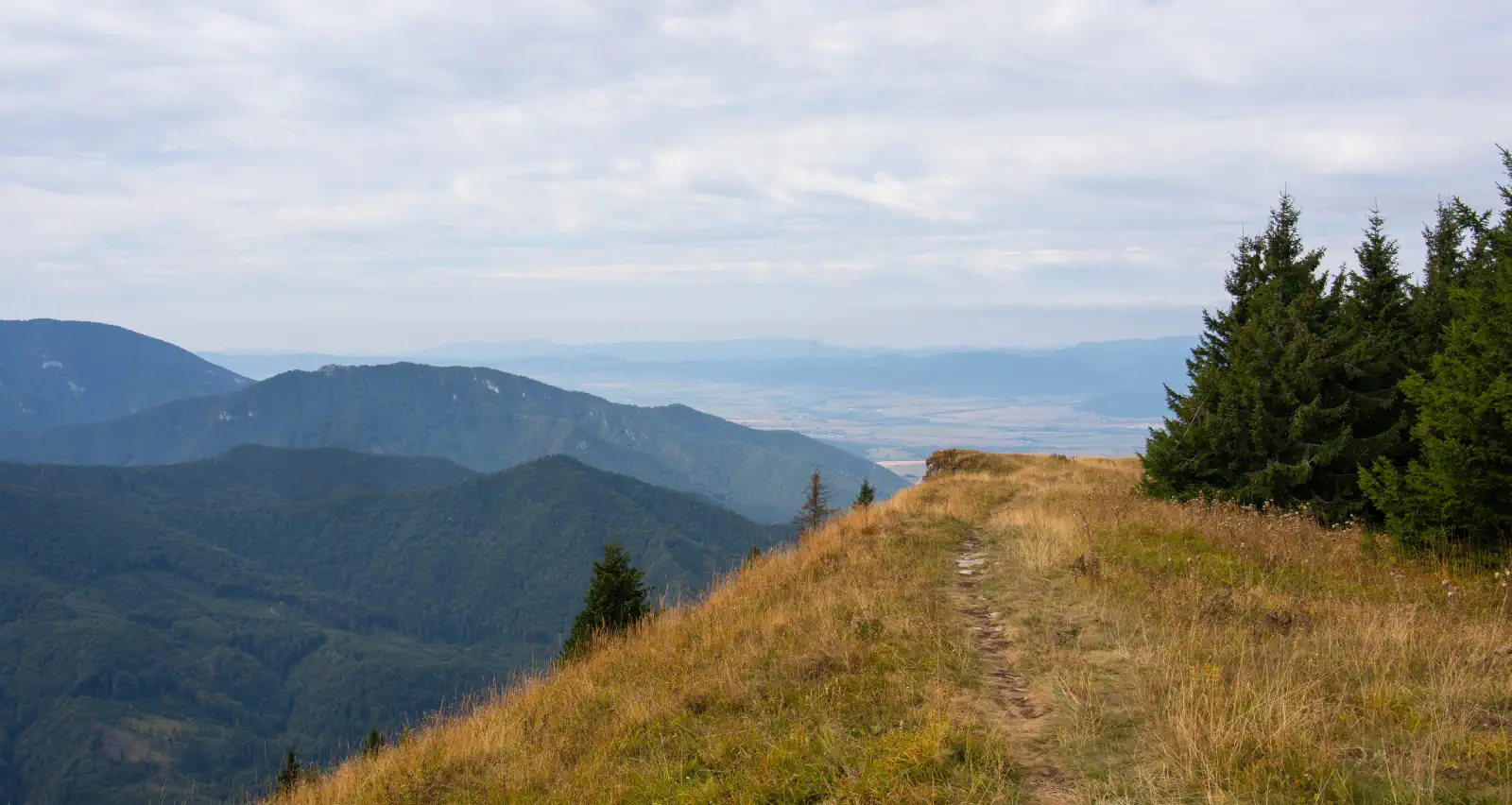
Lysec (1,383 m above sea level) is among the most prominent viewpoints of the Turiec branch of the Veľká Fatra mountains. Thanks to its position on a ridge extending into the Turčianska kotlina basin, it offers surprisingly open circular panoramas, while unlike nearby Borišov or Tlstá, it still maintains a peaceful, less crowded atmosphere.
Access and transport
1. Ascent: Chata Lysec ➔ Grúň ➔ Lysec
-
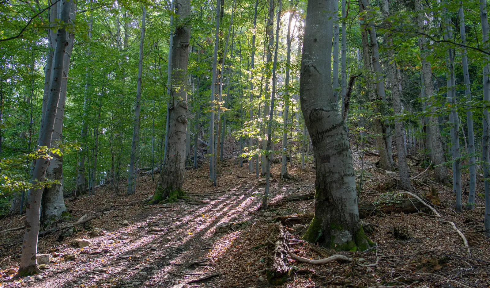
The path follows the blue trail through the locality Grúň. The ascent in this direction is quite steep and leads mostly through dense forest (in leaf or after rain it can be slippery – trekking poles help significantly).
2. Belá Dulice ➔ Poľka ➔ Lysec ➔ Poľka ➔ Belá Dulice
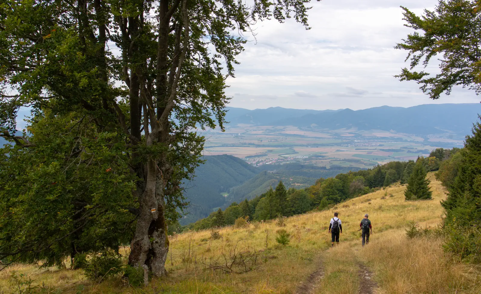
- For the "there and back" route, we can also use the yellow hiking trail 🟡 directly from Belá Dulice. The route via Poľka leads through preserved mountain meadows that abound with flowers in summer and provide continuous contact with the panorama of the surrounding mountain ranges.
💡 Interesting facts at the end:
-
Prehistoric hillfort Lysec: The summit areas hide traces of an elevated fortified hillfort of the Lusatian culture from the younger Bronze Age, which belonged to the highest situated in Slovakia.
-
NPR Lysec: A national nature reserve protecting preserved beech forests, fir forests, and limestone rocky formations with an abundant occurrence of protected plants.
Location map:
There are no comments yet. Be the first!