
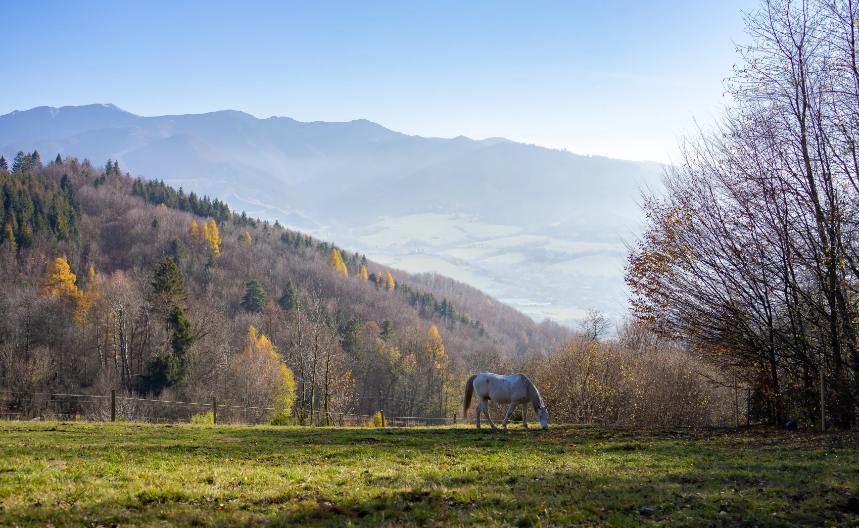
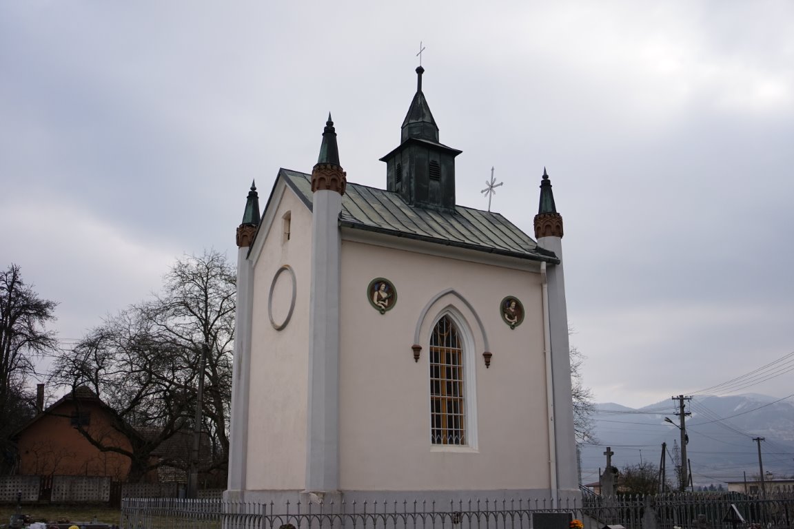
If you are from the Žilina area or are passing by and feel like escaping the city bustle for a while while also enjoying some light physical activity, this route will reward you with its ease and views of Malá Fatra that will let you completely switch off from thoughts of work or the rush of city life. The route starts at the Mausoleum of the Nyári family in Gbeľany, where there is also a car park. It will reward almost everyone, as whether in winter, spring, autumn, or summer, it always has something to offer. In winter it is suitable for hikers, and if there is enough snow at higher elevations, it also has many turnoffs and alternative trails suitable for cross-country skiers. From spring to autumn it is also suitable for cyclists.
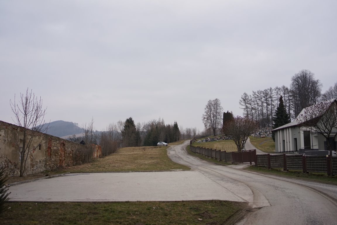
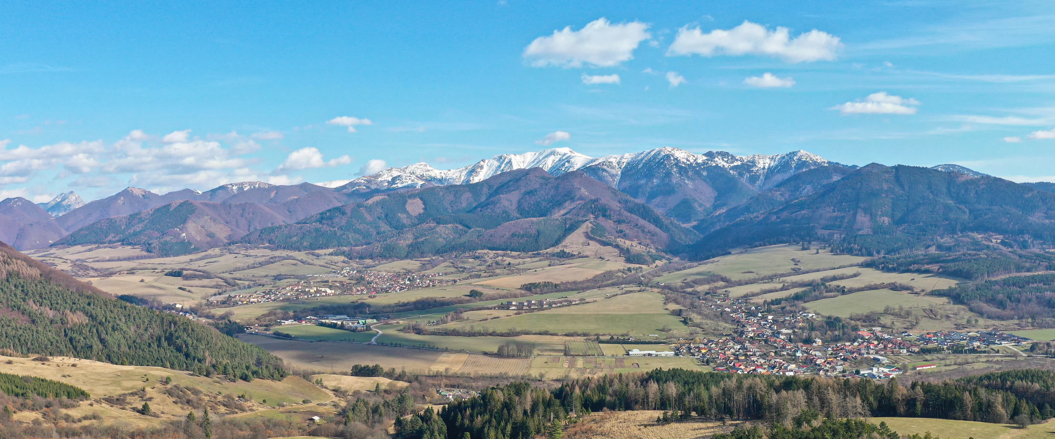
The trail is 5.3 km long. It starts at an elevation of 370 m above sea level, and the final view of the Malá Fatra is at an elevation of 653 m above sea level. So we have approximately 280 meters of climbing ahead of us. We will walk along an old asphalt road that is no longer in the best condition, so especially on bicycles when descending, you need to watch out for numerous potholes in the road that could throw us off balance, but if we are careful, this path is very rideable on a mountain bike and is also suitable for younger hikers.
Location map:


There are no comments yet. Be the first!